
- Weekly Highlights from Arakan (July 20 to 26, 2026)
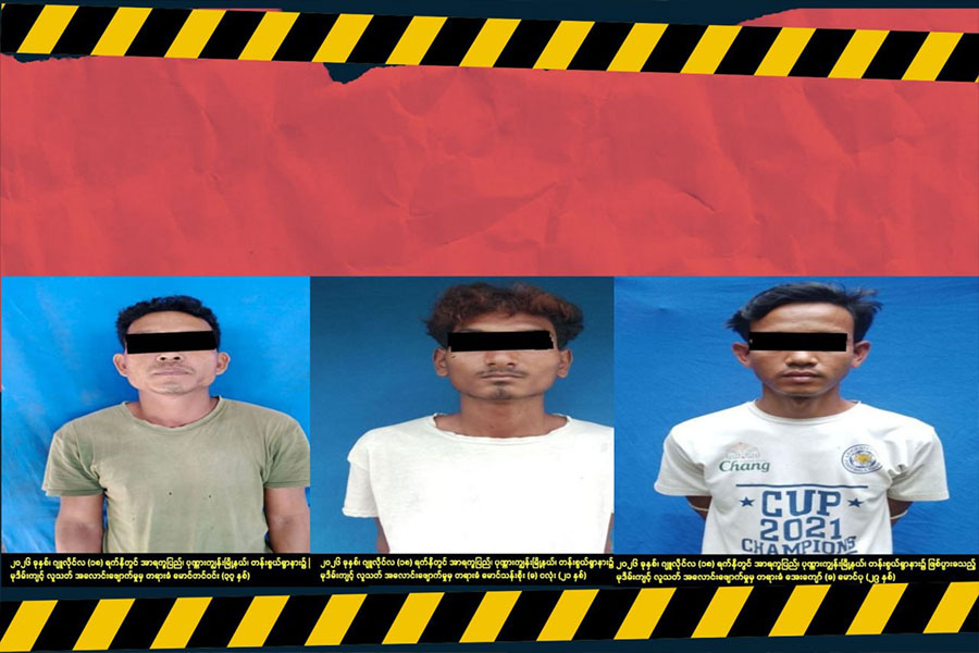
- Three suspects confess to Ponnagyun woman's rape, murder, DLEPS says
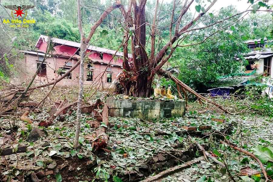
- Ponnagyun woman's murder described as one of Arakan's most brutal crimes
- Three killed, 28 injured in two days of junta airstrikes on Thandwe
- Analysis of the Military-TNLA Talks in Naypyitaw
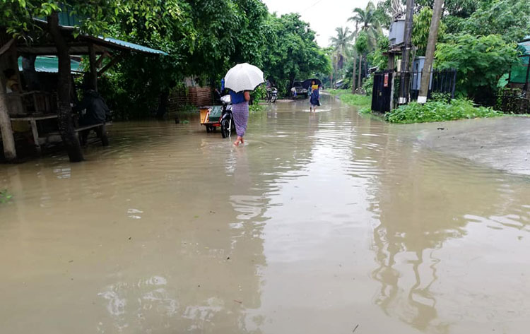
Floods hit over ten villages in Minbya Township
“Water seeps into the villages, and the water level is now three to six feet high. Since we are cut off from Internet access, we could not post about the flooding in our villages on social media,” said administrator of Ohe Pyin Taung village.
11 Jul 2019
Soe Aung | DMG
11 July, Minbya
About 13 villages in Arakan States’ Minbya Township have been affected by flooding, which has created difficulties for local residents.
Heavy rain which started in early June raised the water level of the Pan Myaung Gyi creek causing floods in villages including Pyin Yaung, Ohe Pyin Taung, Shwe Kyan, Pwe Ya Kan Seik, Thasi, Gwa Sone, Htein Bin, Nga Tar, Daing Thar, Min Phoo, Kat Pe, Pale Taung and Wah Taung, villagers were moved from their homes for safety, villagers said.
“Water seeps into the villages, and the water level is now three to six feet high. Since we are cut off from Internet access, we could not post about the flooding in our villages on social media,” said U Kyan Lu, administrator of Ohe Pyin Taung village.
Some villagers moved to a hill near their village, but they are in trouble because they have to take shelter at a place without roofs and walls, local residents said.
“Villagers are in need of food. Since a curfew order has been imposed, people have to live from hand to mouth and farmers are having trouble finding food. They do not have rice, and they cannot buy it because they do not have money. They cannot work due to the flood,” said U Wai Hla Aung, administrator of Pyin Yaung village.
Since Minbya Township is one of the affected areas of the Internet cut-off, local people could not inform people about the flooding in their village so they can’t get relief aid and food for the flood victims. They are in dire need of food during the flood, local residents said.
The water level of Lay Myo River located east of Mrauk-U ancient city has risen above its critical level and will continue to rise by about three feet in the next two days, the Department of Metrology and Hydrology announced on 11 July.
The department suggested that residents near the river and low-lying areas in Mrauk-U Township need to be on alert because of the rising water level.
The increased water level has forced about 3000 IDPs, who are living in temporary shelters at the bank of Lay Myo River near Sin Baw Kaing village, to relocate to higher ground because the camp was flooded.
Recently, floods occurred in five wards in Taunggup town and local residents were concerned about their safety.

Top News
Three suspects confess to Ponnagyun woman's rape, murder, DLEPS says
By Admin 27 Jul 2026

Ponnagyun woman's murder described as one of Arakan's most brutal crimes
By Admin 25 Jul 2026
Three killed, 28 injured in two days of junta airstrikes on Thandwe
By Admin 25 Jul 2026
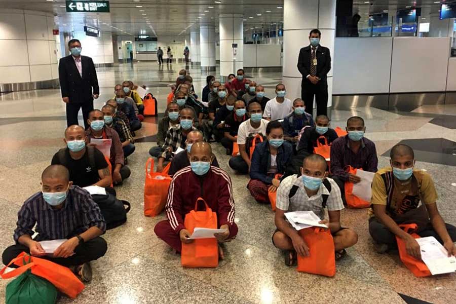
Malaysia plans to return 5,000 Myanmar detainees to junta
By Admin 24 Jul 2026