- IDPs in Arakan State worry for future as shelter crisis persists
- Revolutionary forces dismiss Min Aung Hlaing’s peace talks proposal
- We Must Remove What Is No Longer Needed
- Mon couple flees after defrauding 300 Myanmar workers of 3 million baht
- Junta airstrikes put children’s survival at risk in Arakan State
More rains forecast for Arakan State
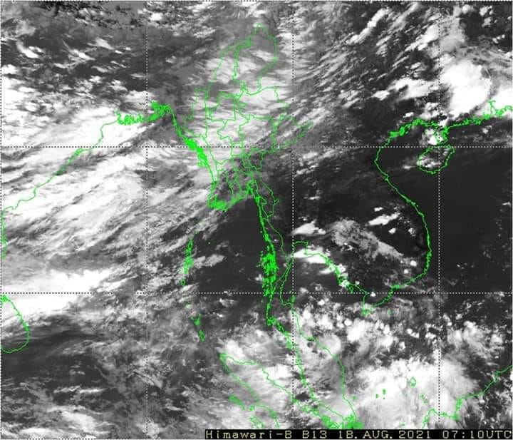
A low-pressure area in the Bay of Bengal crossed Auritha beach in India before it became a depression and as a consequence, Arakan State will get more rain over the next two days, according to U Hla Tun, deputy director of the Department of Meteorology and Hydrology.
18 Aug 2021
DMG Newsroom
18 August 2021, Yangon
A low-pressure area in the Bay of Bengal crossed Auritha beach in India before it became a depression and as a consequence, Arakan State will get more rain over the next two days, according to U Hla Tun, deputy director of the Department of Meteorology and Hydrology.
He said although they forecast more rain, it cannot predict precipitation total as the place where the low-pressure area formed is far from Myanmar.
“We forecast that it will not rain like the previous record rainfall received in Thandwe. With no low-pressure area, the monsoon will be weak too,” he said.
“As many storms did not form in mid-monsoon, at least a storm is likely to form. But, according to the upper wind forms of recent storms, they used to move to the west, and so we forecast that they will move to India beach,” he said.
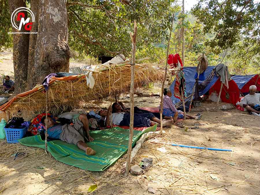
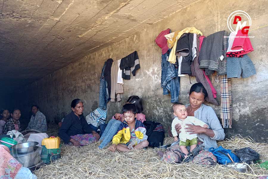
U Shwe Baw Sein, chair of the Rakhine Ethnics Congress (REC), said they are worried about the prospect of more excessive rainfall as more than 100,000 internally displaced people (IDPs) remain in Arakan State.
“As IDPs have to live in shelters, which were built last year, they face difficulties if it rains a lot. If it rains a lot during high-tide times, floods occur and they face more hardships,” he said.
About six storms and 10 depressions occur in the Bay of Bengal each year, and the number of storms and depressions has decreased annually beginning about four years ago, according to local meteorologists.
Currently, the monsoon is weak to moderate over the Andaman Sea and Bay of Bengal, and thundershowers may be widespread along the Arakan coast, and isolated heavy rains may occur, according to the Department of Meteorology and Hydrology.


