- Family of minors raped by abbot in Kyaukphyu demand justice
- Salt farming declines in Arakan State as costs rise and markets falter
- Thousands flee junta raids in Mindon as villages are torched
- Children in Arakan State urgently need psychosocial support and safe spaces
- Regime uses paramotors and gyrocopters to target civilians, Fortify Rights says
National oil spill contingency plan along Arakan coast delayed by COVID-19
Myanmar’s Marine Administration Department says it has been unable to conduct field surveys for the national oil spill contingency plan (NOSCP) in Arakan State due to the coronavirus pandemic.
22 Oct 2020
Thet Paing | DMG
22 October 2020, Sittwe
Myanmar’s Marine Administration Department says it has been unable to conduct field surveys for the national oil spill contingency plan (NOSCP) in Arakan State due to the coronavirus pandemic.
Drafting of the plan began in November 2018 with the help of the International Maritime Organization, and will ultimately address dealing with oil spill incidents along Myanmar’s coastal areas, compensation procedures, preparedness and response equipment.
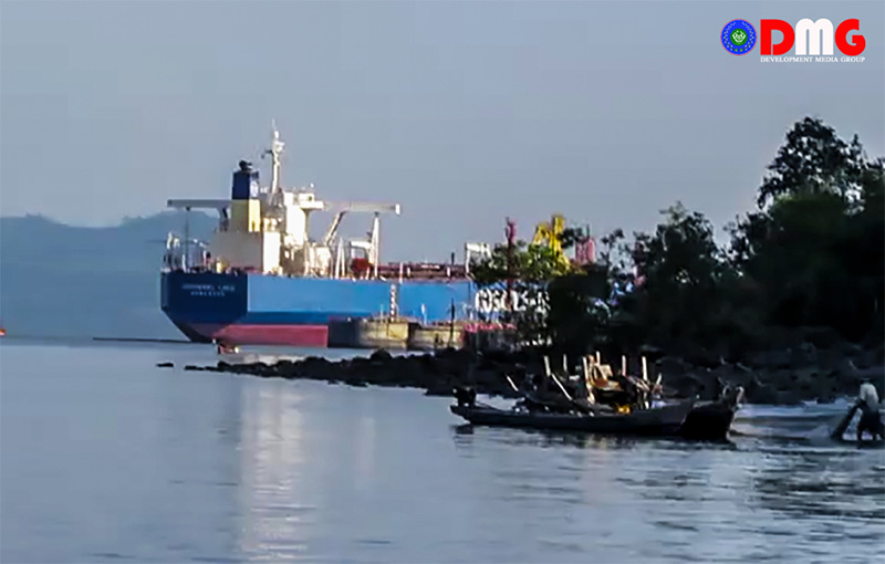
“Arakan State is the most important because if an accident happens on Maday Island alone, there can be hundreds of tonnes of oil spilled within a minute,” the Marine Administration Department’s Deputy Director General U Ko Ko Naing said. “So, we wanted to prioritise Arakan, but as all the transportation routes are blocked and the state is not accessible, we are currently designing the plan for Yangon and Ayeyarwady regions.”
The department conducted sensitivity mapping on and around Kyaukphyu Township’s Maday Island in November of last year, according to U Ko Ko Naing. Sensitivity mapping is an important part of oil spill contingency planning as it identifies locations vulnerable to oil spills, he said.
Every country with ships, large or small, coming and going in its waters should have an oil spill contingency plan, said deputy resident representative U Kyaw Thin Latt of the Wildlife Conservation Society (WCS-Myanmar).
“With sensitivity mapping, we will be able to know which places are habitats for fish, which places are mangrove forests and which places are sandbanks, just by looking at the map. So, in case of an oil spill, we can protect important areas quickly by looking at the map,” he explained.
The Marine Administration Department is currently conducting sensitivity mapping in some of Myanmar’s coastal areas.


.png)




.jpg)

